ABOUT UTTARAKHAND
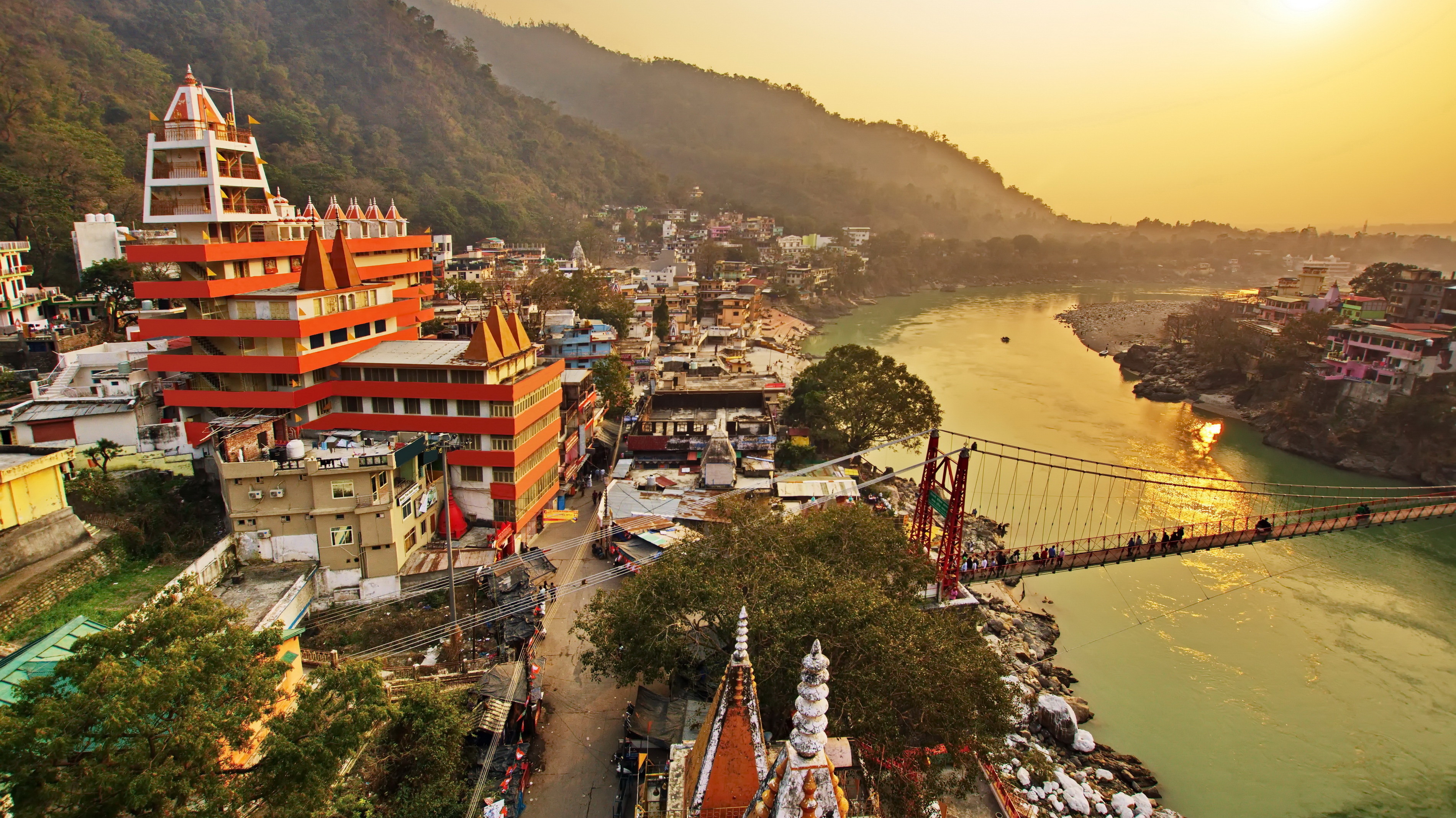
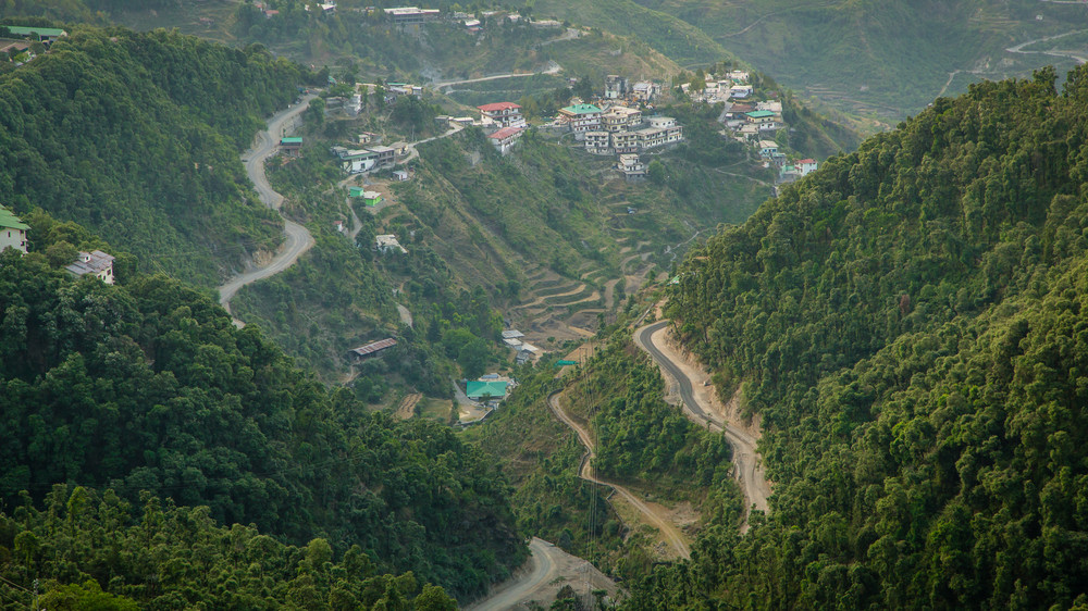
Formed on 9th November 2000 as the 27th State of India, the state of Uttarakhand was carved out of northern Uttar Pradesh. Largely a hilly state, it is located at the foothills of the Himalayan mountain ranges. The state is known for its rich natural resources in the form of water and forests with many glaciers, rivers, dense forests, and snow-clad mountains. Home to one of the most revered pilgrimage sites in India, the Char Dham temples of Badrinath, Kedarnath, Gangotri and Yamunotri are nestled in the mighty mountains.
With its extensive geographical stretch, varied terrain and climate, the Himalayan Mountain Ranges in the state boast of a series of wetlands. The perennial rivers Ganga, Yamuna, Bhagirathi, Alaknanda, Ramganga, Nayar, Kosi, Saryu, Sharda and their tributaries add the glory of nature to the state. Some of the most productive and endangered ecosystems, the wetlands in Uttarakhand exhibit extensive faunal diversity. They act as roosting & breeding grounds and as shelters for migratory and resident birds as the seasons change.
Uttarakhand comprises of 2 regions, 13 districts, 78 Tehsils, and 95 community development blocks. The districts lying in Garhwal Region are Uttarkashi, Chamoli, Pauri, Rudraprayag, Tehri, Dehradun and Haridwar and the remaining 6 in Kumaon Region are Udham Singh Nagar, Nainital, Almora, Pithoragarh, Champawat and Bageshwar. The state shared its international boundaries with China (Tibet) in the north and Nepal in the east. Himachal Pradesh lies in the north-west while Uttar Pradesh is present in the south of the state.


